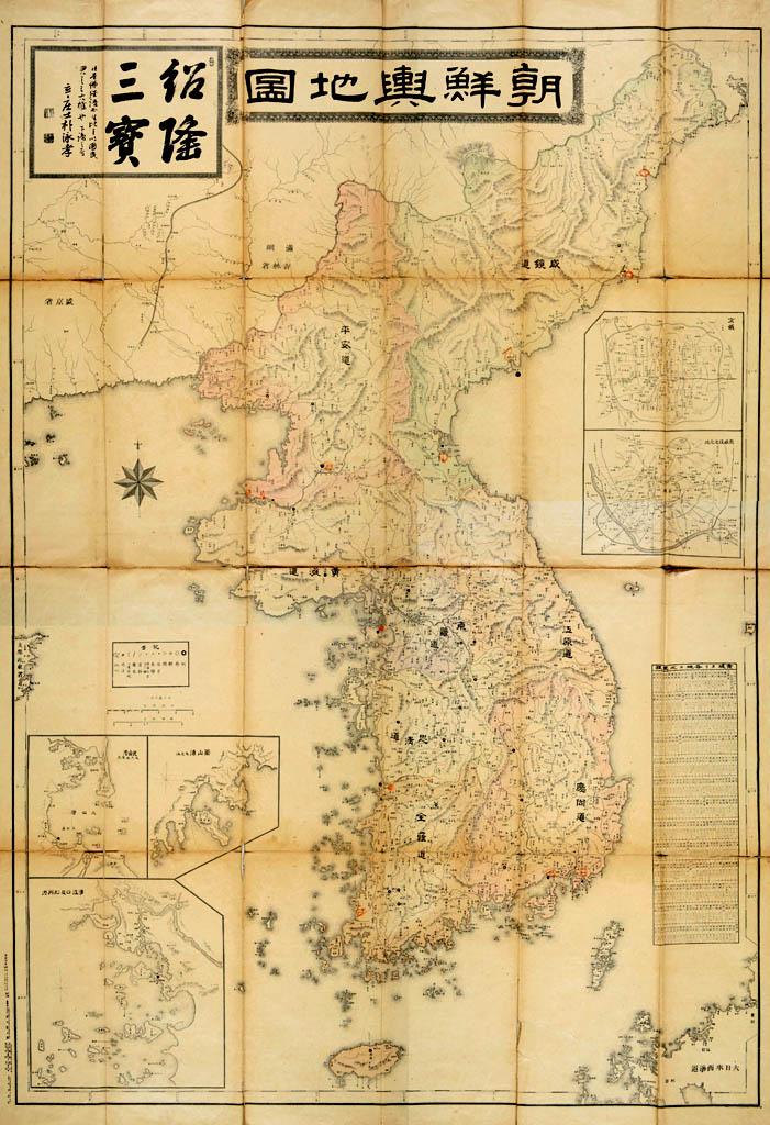
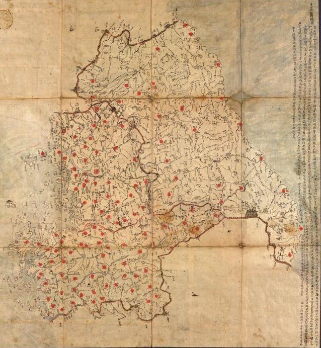
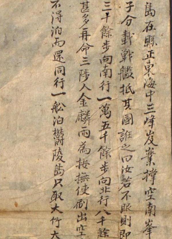
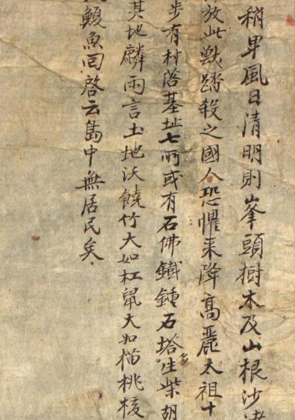
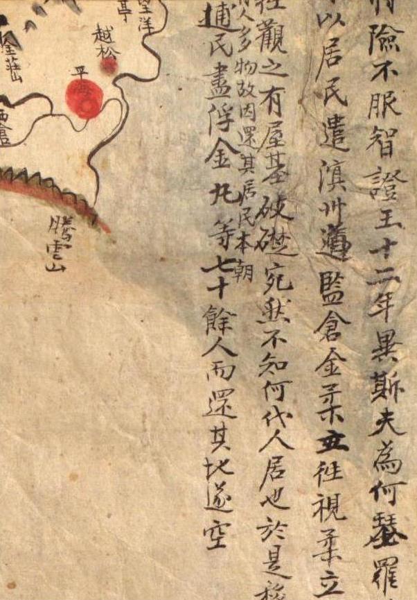
If you would like to see the above maps and others, you can go to http://alabamamaps.ua.edu/, which is a site introduced by Kaneganese.

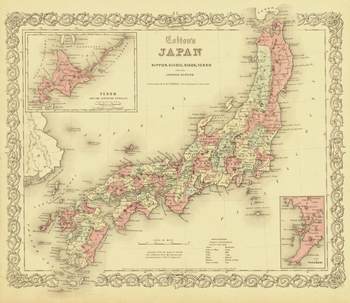
Most American maps in the 1890’s do not show the name "Taka Shima," but there are some exceptions. Here is an American map of Japan and Korea that New York Taiwan (Formosa ) as Japanese territory, which was consistent with the fact that Japan acquired Taiwan
If you look at the islands in the Sea of Japan, you can see three islands labeled as “Taka Shima”, “Matsu Shima” and “Hornet Is. (Liancourt Rocks).” Taka Shima is shown smaller than Matsu Shima, which apparently meant to be the Korean island of Ulleungdo’s. That means that the Taka Shima on the map was the non-existent island of Argonaut, which was a mismapping of Ulleungdo by a Bristish naval vessel named "Argonaunt. The islands were colored in greenish yellow, which indicates they were considered to be Japanese
The fact that the Americans used the Japanese names for Argonaut (Take Shima) and Ulleungdo (Matsu Shima) suggests that they may have shown those territories to be Japanese based simply on the fact that they had Japanese names.
In 1876, Mutoh Heigaku wrote in his “Argument for the Development of Matsushima” that an American merchant living in Vladivostok told him that Matsushima was Japan
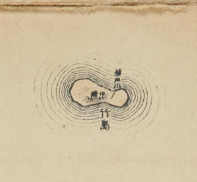
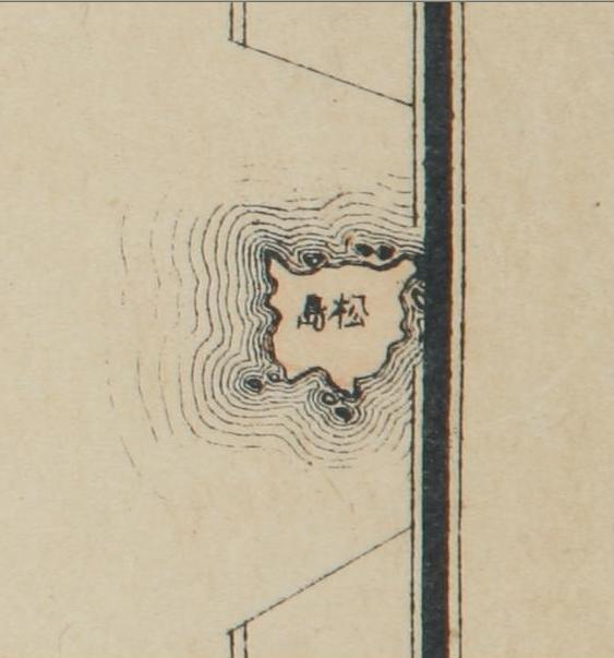
 Therefore, this American map is more evidence that Liancourt Rocks was considered to be Japanese territory in 1897, just three years before Korean Edict 41 made Ulleungdo and its neighboring islands of Jukdo (竹島) and Seokdo (石島) a county of Gangwon Province. There are no Korean, Japanese, or Western maps that support the Korean claim that the Seokdo in the imperial edict was Dokdo (Liancourt Rocks).