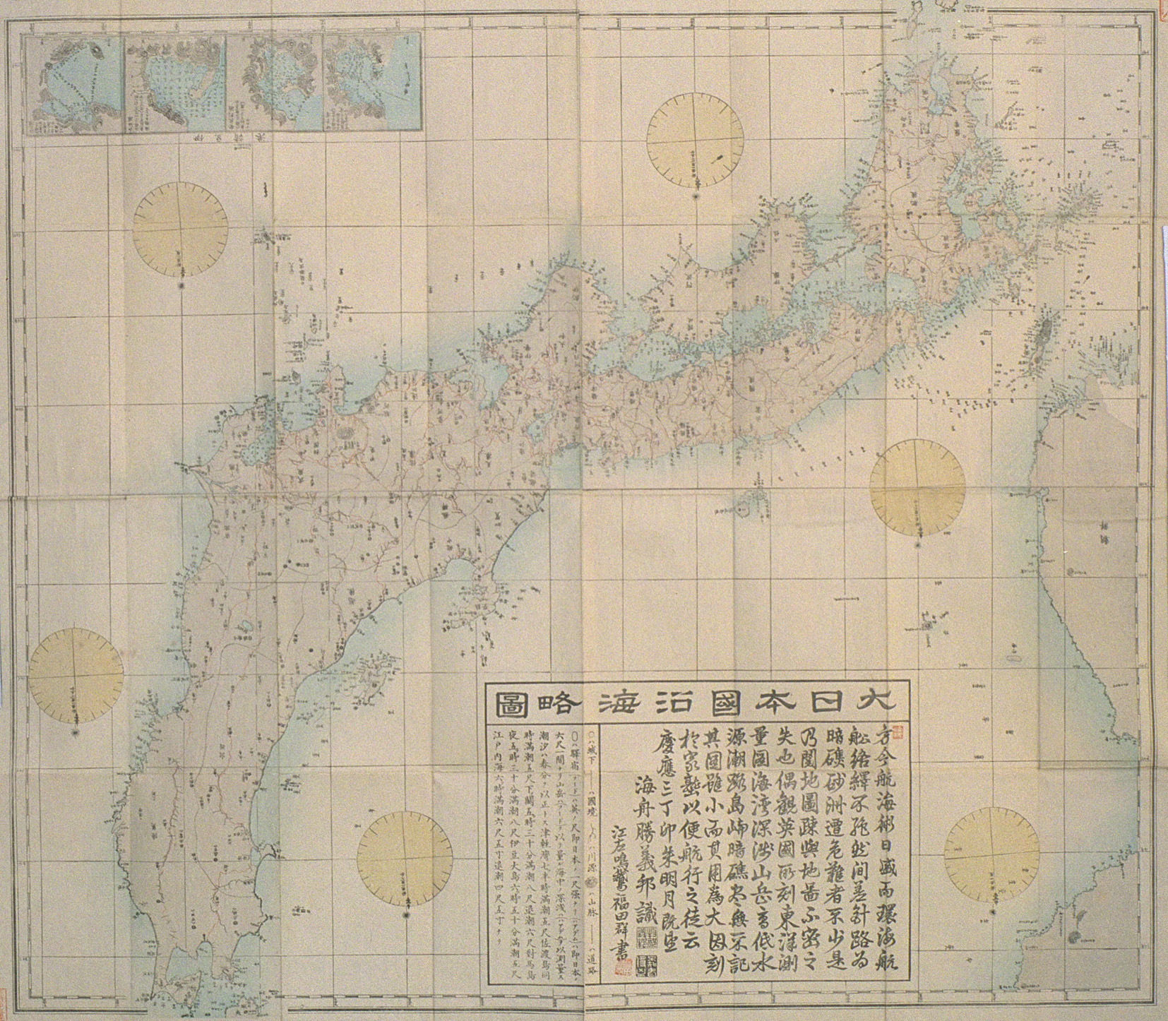
After this occasion, various problems occured. It was the beginning of the dispute over Liancourt Rocks (Takeshima/Dokdo). Among them, the Daiichi-Daihou Maru incident was one of the important incidents. However, there were already miscllaneous frictions appeared before the incident.
[Background: Attacks by Korean warships in 1952]
At 3:00 am on October 13th 1952, when 40 Japanese fishing boats including a fishing boat from Shizuoka prefecture called “Hokoku-Maru” were engaging in fishing squads within Japanese territorial waters at 30 miles east of Udo of Chejudo (Quelpart), three small warships of Korea suddenly machine-gunned them shooting tracer bullets.
And on both of 13th and 14th October, Japanese fishing boats including “Narita-Maru” and “Fukuei-maru” (both from Chiba prefecture), and four other fishing boats from Shizuoka prefecture were attacked by three Korean warships twice at around 20 to 30 miles southeast of Udo. At 11:00pm on October 16th, “Sunami-Maru” of Kanagawa prefecture was attacked by Korean warships at 30 miles east of Chejudo.
And in February 1953, the incident occured.
 (The newspaper article at left: February 20th 1953, Asahi Shimbun -courtesy of chaamiey)
To follow is the details of the Daiichi Daihou Maru Incident in 1953:
At 7:00am on February 4th 1953, when two 57-ton fishing boats from Fukuoka, “Daiichi- Daihou Maru” and “Daini-Daihou Maru”, were engaging in fishing at the fishing area #284 which was 20 miles off Chejudo, two Korean fishing boats approached them from the southwest direction. They were called as “第一昌運号” and “第二昌運号” and they asked Japanese ships in Japanese, “How about today’s catch?” The two Korean ships passed Japanese ships and stopped for a while.
When the “Daiichi Daihou Maru” began to draw up fishing nets, a Korean ship that stayed 30 meters behind the stern of the Japanese ship began to shoot with automatic rifles. The two Japanese ships tried to run away but the “Daini Daihou Maru” was captured at 8:15am and the “Daiichi Daihou Maru” gave up to escape because of fierce shooting. The Korean fishing boats were pretending to be private fishing boats but they were heavily armed, Korean military police and navy officers were on the ships. The chief fisherman, Seto Jujirou (or Shigejirou), 34, was shot by the head and lost consciousness. The “Daiichi Daihou Maru” was captured at 8:30am and was ordered by men of the 第一昌運号 to go to 翰林面 of Chejudo. Japanese fishermen were then handed over to a police station, almost all the valuables in the ships including private properties were confiscated by the Korean police.
Japanese fishermen told the Korean Military Police officers that there was an injured. The injured chief fisherman was brought to a small clinic called 高医院 (高clinic), but the doctor at the clinic said “No hope” and rejected to treat him. The fishermen asked police to bring him to a larger hospital but policemen said “We only worked by orders of military authorities, it is not our fault” and did nothing. So the Japanese fishermen asked the Military Police once again to bring him to a hospital but the chief of the Military Police said “He is wounded by a bullet which lodges in his head, so he won’t be survive” and did nothing. They repeatedly asked and finally, the chief fisherman was to be admitted to a military hospital. Korean officers said “A car will come soon”. The fishermen asked the clinic to give him an intravenous drip infusion until he was hospitalized but the doctor refused it because it was expensive. A fisherman promised the doctor to pay the bill after selling his private things, and the injured was given a drip infusion. But after all, Korean authority didn’t set a car for the injured. They left him unattended, he died at 11:00pm on February 6th.
On the next morning, his body was dissected to examine the cause of his death and to determine whether the bullet was shot by Military Police officers or by navy officers. It was a bullet shot by the Military Police. They asked the authority to arrange the cremation but their plea was ignored. The fishermen sold the rest of their private properties and held a funeral service for him. They cremated the body gathering pine woods next day.
The fishermen were confined at a room in an air-defense crew room near the police station on February 9th. The room was so small for 18 people, its extent was only about four futon mats. Foods were not given, so they had to eat the rest of the foods which they managed to bring from their ships. On examination, Korean authority insisted that they captured the Japanese ships at the sea 9 miles from 翰林. However, Japanese fishermen pointed out the inconsistency between the time difference of compass of Korean ships and the velocity of the ships. Then, Korean authority proposed to take the middle of their opinions – 13 miles and forced the fishermen to sign the document.
However, according to the radio operator of the “Daini-Daihou Maru”, they were captured at 30 miles from翰林.
When they were sent to Cheju (North part of Chejudo) on February 12th, they noticed that they didn’t have the chief fisherman’s ashes. They asked to bring the ashes but the head of the police station rejected the request. They were moved to the section 2 of the inspection department of Cheju Police Station (済州警察査察課第二係) and were jailed at 11pm without meals.
The Korean Police made a report in hanglu that mentioned the Japanese fishermen violated territorial waters of Korea and forced the fishermen to sign it. While they made the report, they measured a chart with a cigarette and a match along with a ruler, which was an inaccurate measurement.
After it revealed that the ships were captured in open waters, the Commander of Korean Coast Blockade & Escort Fleet - the U.S. Rear Admiral Glitch (spelling unsure) [朝鮮沿岸封鎖護衛艦隊司令官グリッチ少将] in Sasebo, Japan, asked for an interview with the President Rhee Syngman. The President Rhee expressed his regret over the incident and the fishermen were released in the end. [Thanks to Kaneganese for proof-reading]
But this was only one of the incidents. Many of the captured fishermen were detained for 3 or 4 years. Their fishing boats were confiscated and re-used as Korean fishing boats. 3929 of Japanese people were arrested, 328 of Japanese ships were seized, and casualty was 44 of Japanese.
In July 1954 Korea began to occupy the island. To follow is from a newsclip of the New York Times, July 31, 1954. This is how the illegal occupation of Liancourt Rocks by Korea began.
Japanese sources said today the South Koreans had seized
and occupied the Takeshima islands in the Sea of Japan. Title to the islands
long had been in dispute between the two nations.
Two Japanese patrol boats cruising near Takeshima saw a
half-dozen Koreans at work on Mishi Island [sic], one of two rocky islets that make up
the Takeshima group.
The men were uniforms of white shirts and green trousers.
Apparently they were guards sent by the Republic of Korea to enforce the claim
to Takeshima, the Japanese maritime Safety Board reported. It was not apparent
whether the men were armed, the report said, but they evidently intended to stay
on the island.
A large tent had been pitched on what looked like a
permanent foundation, coast guardsmen said. And on the northern side of Mishi a
large sign had been erected with the legend, "Republic of Korea, Seventh
District, Civil Administration Department".
The Japanese made no attempt to land, according to the
Maritime Board, but patrol boats circled the island, broadcasting through their
public address systems that the islands were Japanese territory. To this the
Koreans appeared to pay no attention.
The Japanese visit was made Wednesday by two patrol
ships, the Kuzuryu and Nagara. The Koreans, the Japanese assumed, had been in
posession at least since July 25, the date inscribed on the
signboard.
The Japanese deduced that the Koreans' presence was not a
temporary stop-over, such as is sometimes made by fishermen at
Takeshima.
No Korean vessel was in the vicinity, according to the
Japanese coast guards, leading to the belief the South Koreans had been embarked
on the island with supplies to last sometime.
Takeshima, lying at about Lat. 37 degrees 7 minutes N.
and Long. 131 degree 55 minutes E., consists of two islands, Nishi, the west
island, and Higashi, the east island. Earlier this month, the South Korean
Assembly in a formal proclamation asserted soverignty over both islets and a
party of Assemblymen was reported to have sailed from Pusan this week to inspect
the territory.
The islands have been a bone of contention between Japan
and the Korean Republic since the San Francisco Peace Treaty of Sept.8, 1951,
restored independence to this nation.
The rocky barren islets, which cover only few square
miles, have served as a useful temporary base for fishermen trawling in the Sea
of Japan. According to the Japanese Foreign Office, the islands have been so
used by Japanese fishermen for more than 300 years and at one time were known as
Matsushima or Pine Islands. They were formally incoprporated into the Japanese
national territory in 1905.
Takeshima lay on the Japanese side of the "MacArthur
Line", established as a boundary beyond which the Japanese might not go during
the Allied occupation without special consent. Later, however, when President
Syngman Rhee of Korea set up the "Rhee Line", extending Korean territorial
waters far out into the Sea of Japan, the islands fell on the Korean side of the
boundary.
The Japanese Government, though claiming posession of
Takeshima, apparently has not been able to decide, to date, what to do about
Korea's claims. Last year, answering questions in the Diet, Foreign Minister
Katsuo Okazaki told the members it was "clear by the San Francisco Peace Treaty
that Takeshima is an island of Japan." At that time he said he had "not heard"
of the Korean claim and did not believe the issue worth disputing.
Meanwhile, negotiations between Japan and Korea over
reparations, the establishment of regular diplomatic negotiations and other
issues have completely broken down. So far as is known, posession of the islands
has never been formally discussed, though each side has continued to advance its
own claim to the territory.


 (The newspaper article at left: February 20th 1953, Asahi Shimbun -courtesy of chaamiey)