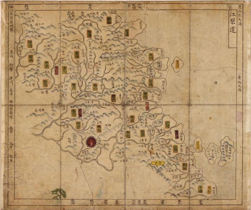
Notice that the Gangwon Province map shows Ulleungdo kind of hugging Usando, which may have been done to emphasize the fact that Usando was a neighboring island of Ulleungdo. Later maps of Ulleungdo would move Usando to off Ulleungdo's "east" shore, in a position indicating it was Ulleungdo's neighboring island of Jukdo (竹島), which is about 2.2 kilometers off Ulleungdo's east shore.

This map looks like the desing of 海東総圖 you posted before.
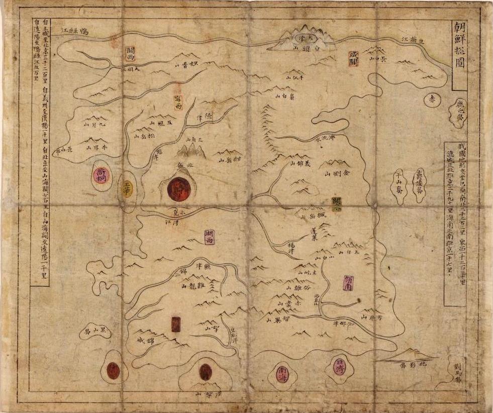
ReplyDeleteI think this map suggests Korean's unclear question whether Ulluengdo be one island with two names(一島二名) or two island, the orthodox concept before 1711.
So I dont think they consider it is Jukdo but just implies neighbor island of Ulluengdo with close distance if Ulluengdo be two islands.
It is because they confirmed Usando is Jukdo after 1694 or 1711 and
they consider Big Usando is Jukdo and Small Usando is Gwaneumdo around Mid of 19C,
then those recognization succeed to early 20century like 大韓全圖.