Kimotsuki Kaneyuki, a director of Hydrography Department, and a mayor of Osaka, was born in Kagoshima(鹿児島) in1853. He is a nephew of Komatsu Tatewaki Kiyokado (
小松 清廉(帯刀) ). The lieutenant of naval forces(海軍中尉), is known as the first Japanese who observed latitude by the Talcott Method, and obtained the value of 35 degrees 39 minutes 17 seconds 492 of north latitude in the Tokyo Azabu naval forces marine meteorological observatory in 1876. This was the first measurement of numerical value in the Japanese latitude and longitude datum point. He was the person who measures the latitude value of the Japanese latitude and longitude datum point, and executes a Japanese original domestic longitude telegraphic communication measurement for the first time.
Kimotsuki's previous name was Eda(江田), then Ohtomo(大伴), and his childfood name was Sentaro(船太郎). He served Hokkaido Development Commissioner(北海道開拓使) from 1869, surveyeing the land, then worked for the waterway division in 1872. He observed 19 pairs of the stars 109 times by the Talcott method with Dabittoson meridian transit instrument based on the Washington star table, and Astronomical latitude was decided by his effort in 1876. This is the "Kimotsuki Point" of naval forces marine meteorological observatory in Azabudai, Minato, Tokyo and the latitude values of the Japanese latitude and longitude starting point were made by shifting this value to the transit circle (子午環). Though he planned for the passing difference observation between Hokkaido and Tokyo in 1876, he had to change the plan to the measurement between Aomori of Tokyo due to the breakdown of the bottom of the sea electric wire. This is the first longitude telegraphic communication measurement in Japan.
Kimotsuki started from a clerical work at the marine meteorological observatory, then served as a subleader of the measurement section, later became the chief of land surveyrance section in 1883. He became the second and the forth director of the Hydrography Department and served for 16 years as a director, contributing the development of the waterway business enormously. After he had retired from the service, he became the member of the House of Peers(貴族院) in 1911 and the mayor of Osaka city in 1913.
The waterway division started by the
Yanagi Narayoshi(柳楢悦), a father of
Yanagi Muneyoshi (柳宗悦) who had devoted to the folk arts from Korean Lee Choson Dynasty, as a waterway inspector, one commander, and two majors or less in 1871. They executed the Hokkaido coast measurement at first in cooperation with the British warship Sylvia, and gradually built a system to be able to conduct waterway measurements by themselves. The first chart "Kamaishi(釜石)" was completed in September, 1872, and a real waterway measurement had thus begun.
The division became independently to naval forces Hydrography Department in 1886, and afterwards, it became big organization of 105 people of the number of staff, and the Yanagi became the founder director of Hydrography Department and the Kimotsuki, a measurement section chief in the waterway divisionin 1887.
In 1880, Navy sent warship Amagi and found "Takeshima" which was questioned for its sovereignty by Japanese was Jukdo(Boussole Rock) and "Matsushima" was Ulleungdo. Today's Takeshima/Liancourt Rocks hadnever been a matter of territorial concern between two countries before 1906. When Nakai Yozaburo, a businessman from Oki came to him and sought an advise from him in 1904, he, as a director of the Hydrography Department who published
1894 "Choson Waterway Magazine" which clearly states that Korean eastern limit is 130°35′, said it should be Japan's. Since Kimotsuki was a specialist of surveyrance, it was natural for him to correct Nakai Yozaburo's misunderstandings that Liancourt Rocks "belonged" to Korea from "seacharts", which has nothing to do with territory claim and advise him that it should be Japanese territory since the sovereignty of Liancourt Rocks was indeterminate and it is nearer to Japanese main island than Korean peninsula.
同島の所属は確乎たる徴証なく、ことに日韓両国よりの距離を測定すれば、日本の方十浬の近距離にあり(出雲国多古鼻より百〇八浬、朝鮮国リッドネル岬より百十八浬)加ふるに、朝鮮人にして従来同島経営に関する形迹なきに反し、本邦人にして既に同島経営に従事せるものある以上は、当然日本領土に編入すべきものなり(『竹島経営者中井養三郎氏立志伝』 (奥原碧雲, 1906) )
--------------------------------
There is no concrete evidence of sovereignty of the island. And especially measuring the distance from both Japan and Korea, it is closer to Japan by 10 nautical miles. (It is 108 seamiles from Takohana, Izumo country and 118 nautical miles from Lidnell cape of Korean peninsula. ) and as far as there are Japanese who are already engaging in managing the island while there is no trace of Koreans who managed the island, it is natural to incorporate it to Japan. ("The Manager of Takeshima; The Success Story of Mr. Nakai Yozaburo" by Okuhara Hekiun, 1906)
As we have seen on this blog, this is exactly the situation Liancourt Rocks was under in 1904. At the time in 1904, all the books and maps published in Japan, western countries and even Korea herself we had checked so far clearly described Takeshima/liancourt Rocks was outside of Korean territory.
Many Japanese and western maps depicted Liancourt Rocks as Japanese territory, some depicted it as tella nullis, but none as Korean. Moreover, there is no single evidence of any display of functions of state and governmental authority by Korea until 1950s, when Korean president Lee started its military expansionism and illegally occupied Takeshima right after they noticed U.S. denied Korean sovereignty over the island in San Francisco Peace Treaty. Those facts firmly support Kimotsuki's fair and logical advice to Nakai in 1904. It is absurd to even hint that Kimotsuki had some kind of military pourpose or expansionism without any evidence, like pro-Korean professors Prof. Hori Kazuo, Prof. Emeritus Naito have been wrongfully insisting.
In spite of Korea's desperate pursuit for finding similarity between the 1905 Takeshima Incorporation by Japan and 1910 Japanese annexation of Korea, there is absolutely no evidence that those two incidents shared any direct connection. Incorporation of Takeshima into Shimane was nothing like a "stepstone" for the annexation, but simply a peaceful process which followed the international law.
Japanese government incorporated Takeshima, reconfirming/replacing its historic title with modern title in 1905 and Korean Imperial government officially acquiesced the Japan's sovereignty over Takeshima/Dokdo by not expressing protest against Japan in 1906.
References:
Korean Eastern limits described in various books world wide exclude Takeshima/Dokdo from Korean Territory
The Territorial Recognitions which Western Maps of Japan Show for Takeshima/Liancour Rocks between 1880-1905 : Ver.11880 - Japanese Warship "Amagi" (軍艦天城) Surveys Ulleungdo and finds "Takeshima" is Jukdo.1881 - Kitazawa Masanari(北澤正誠), a official of MOFA concluded that "Takeshima" is Jukdo in "A Study of Takeshima (Takeshima Kosho 竹島考証) "1900 - The Times Map (China and Japan, Printing House, London)**It shows Ulleungdo = Korean , Liancourt Rocks = Japanese
1906- Feb 20 & April 17 - "Official Documents of the Ministry of Internal Affairs Vol.1" - Korean government protested about land transaction in 竹邊浦
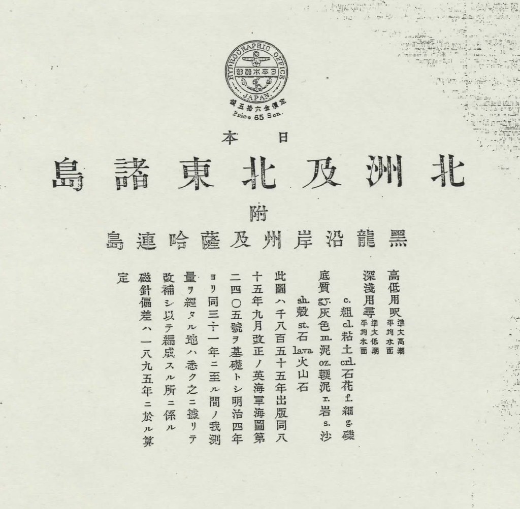
 Dec. 24th edition of Japan's San-in Chuo Shimpo(山陰中央新報) (cache) reported that the new evidence which debunks pro-Korean's distorted claim was found, again.
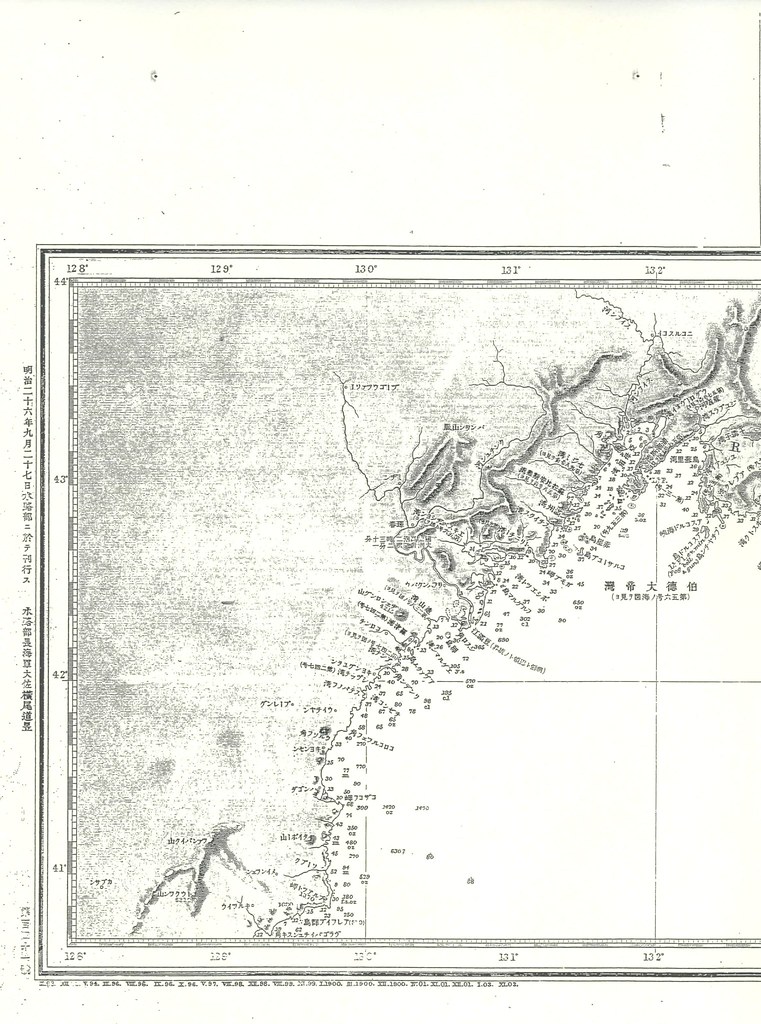
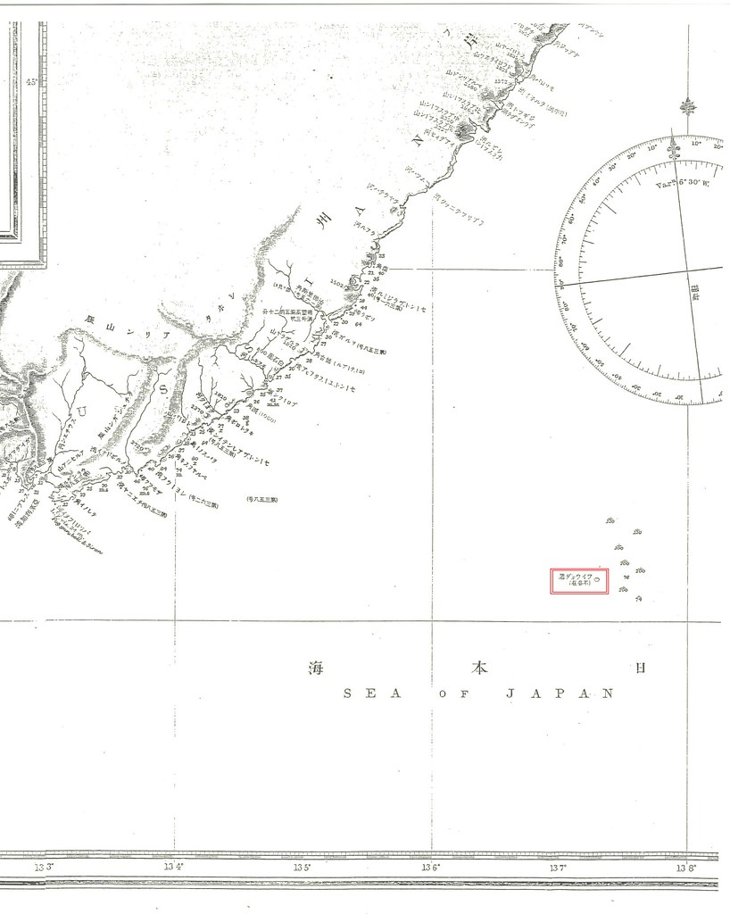
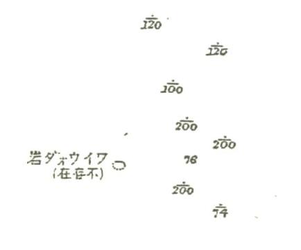
 First of all, waterway magazines are just "guide to sea routes" and they don't represent the "sovereign rights to islands". They are written for the safety of the voyages as well as seachart. In fact, Liancourt Rocks was listed along with Matsushima(Ulleungdo) and Waywoda rock as "dangerous rocks in the Sea of Japan(左ニ記載スルモノヲ除ク外日本海内絶エテ暗岩危礁ナシ)" for the safe voyages in 1894 "Choson Seaway". And Waywoda Rock was reported as situated in lat. 42°16′N., long.137°18′E. , way up north from Korean territorial limit in the first place. Pro-Korean always wrongfully refer to this book as one of the evidences Japanese considered Takeshima as Korean territory only because it was listed in the section "East Coast of Choson" of "Choson Seaway.", ignoring Waywoda rock, which is clearly outside of Korean territory, was also listed in the same section.